
Arkansas River and Flash Flood Prep for Riverside Homes

Property owners near the Arkansas River, Fourche Creek, and Rock Creek must prepare for seasonal high-water crests and flash flooding by maintaining backflow check valves, elevating mechanical systems, securing flood insurance via NFIP, and understanding safe water pump-out procedures that prevent foundation wall collapse.
Lessons from the Historic May–June 2019 Arkansas River Flood
In May and June 2019, record-setting rainfall across Oklahoma and Arkansas caused the Arkansas River to crest at historic levels, inundating riverfront areas across Pulaski and Faulkner counties. Navigation was completely halted, and riverside residential lowlands in North Little Rock, Maumelle, and Conway experienced severe overland flooding and groundwater intrusion. This historic event demonstrated that riverine flooding develops over several days as upstream dam releases crest, whereas urban flash flooding along Fourche Creek and Rock Creek can surge within hours of an intense thunderstorm.
Get Connected with a Local Contractor
Dispatch operates 24/7 across Little Rock, North Little Rock, Sherwood, Maumelle, Bryant, Benton, Conway, and Jacksonville.
Structural Pre-Flood Defenses for Riverside Properties
If your property borders the Arkansas River or local tributary floodplains: 1. Install an exterior sewer backwater check valve to prevent floodwaters from forcing sewage backward into home drains. 2. Elevate electrical service panels, water heaters, and HVAC compressors at least 12 inches above the base flood elevation (BFE). 3. Ensure sump pumps in crawlspaces are fitted with battery backup systems in case power grids fail during storms. 4. Seal foundation cracks with hydraulic cement and maintain positive yard grading sloping away from foundations.

The Hazard of Category 3 Black Floodwater
Overland floodwater is always classified under ANSI/IICRC S500 as Category 3 black water. As floodwaters wash across highways, agricultural acreage, septic drain fields, and industrial corridors, they accumulate biological sewage, heavy metals, agricultural fertilizers, fuel residues, and dangerous bacteria. Any porous building material (such as drywall, baseboards, and carpeting) that comes into contact with floodwater must be safely removed and discarded per public health standards.

Post-Flood Recovery: Pumping Water Without Collapsing Foundation Walls
A critical structural hazard during flood recovery is improper water pumping. When surrounding soils are saturated with water, the external hydrostatic pressure exerted against foundation walls is immense. If a homeowner uses heavy pumps to evacuate all standing water from a flooded basement or deep crawlspace in a single day while the yard remains saturated, the external soil pressure can crack, buckle, or collapse the foundation walls inward. Water should be pumped out gradually—no more than one to two feet per day—as groundwater naturally recedes.

Flash Floods Along Fourche Creek and Rock Creek: Urban Runoff Dynamics
While major river crests on the Arkansas River provide days of advance warning through US Army Corps of Engineers reservoir alerts, urban flash flooding presents a very different and sudden threat in Little Rock. Heavily paved urban corridors around University Avenue, Midtown, and West Little Rock generate massive stormwater runoff during severe summer thunderstorms. Tributaries such as Fourche Creek, Rock Creek, and Coleman Creek can rise several feet in under an hour, overwhelming storm culverts and inundating nearby residential roadways, crawlspaces, and ground-floor living areas. Homeowners in these drainage basins must install high-capacity sump pumps with battery backups, clear storm drains of yard debris before heavy rainfall, and keep sandbags on hand during National Weather Service flash flood watches.
Psychrometric Structural Drying After Flooding: S500 Standards
Once floodwaters recede and Category 3 contaminated sheetrock and insulation are stripped up to safe heights, structural framing must be dried under rigorous psychrometric science. Saturated pine studs and sill plates in Central Arkansas can hold up to 30% to 40% moisture content. Simply opening windows allows humid Arkansas air to prolong moisture retention, guaranteeing mold colonization. Professional contractors follow ANSI/IICRC S500 standards: sealing the building envelope, deploying high-capacity low-grain refrigerant (LGR) dehumidifiers, and angling industrial air movers to establish laminar airflow across wet subfloors. Technicians record daily temperature, relative humidity, and grains per pound (GPP) until moisture meters verify that structural framing has reached baseline equilibrium below 16% wood moisture content.
Central Arkansas Flood Preparedness & Recovery Timeline
| Flood Phase | Key Action Required | Critical Safety Step | Authority Resource |
|---|---|---|---|
| Pre-Season Prep | Inspect backwater valves & sump pumps | Test battery backup on crawlspace sump | Pulaski County Floodplain Management |
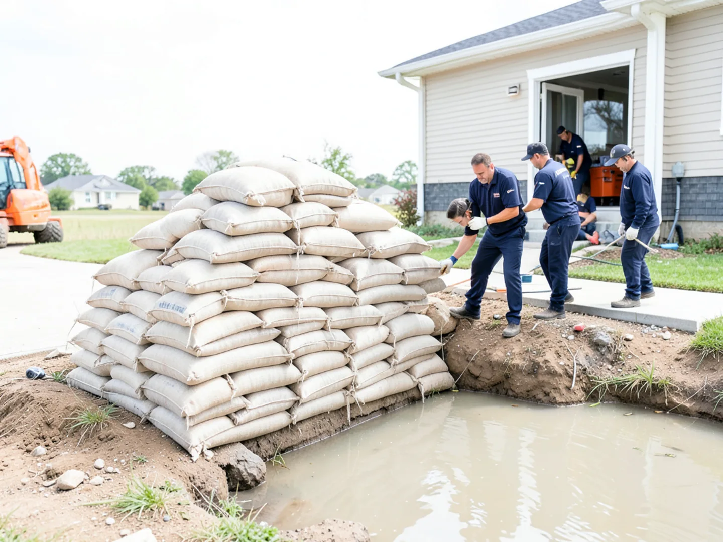
| 48-Hour Flood Warning | Deploy sandbags & move valuables upstairs | Shut off electrical main if water approaches | USACE Little Rock River Gauge |
| Active Crest / Evacuation | Evacuate low-lying riverside corridors | Never drive or walk through moving floodwater | NWS Flash Flood Warnings |
| Post-Flood Return | Gradual pump-out (max 1–2 ft/day) | Confirm electrical safety before re-entry | Call (702) 478-1007 for extraction |
Professional Contractor Perspective
Flood insurance is not included in standard homeowners policies. Property owners in Pulaski, Saline, and Faulkner counties located in Special Flood Hazard Areas (SFHA) must purchase separate flood coverage through the National Flood Insurance Program (NFIP). NFIP policies carry a mandatory 30-day waiting period before taking effect, meaning policies cannot be purchased once a storm or river crest warning is announced.
In accordance with our editorial standards, our informational guides and process breakdowns are grounded in verifiable documentation from state licensing boards, municipal utility codes, and official meteorological data:
- 1.US Army Corps of Engineers Little Rock District — Arkansas River gauge and reservoir data.
- 2.USGS — Hydrological data for Arkansas River at Little Rock.
- 3.FEMA Flood Map Service Center — Pulaski County flood insurance rate maps.