Water Damage Restoration Service Areas Around Little Rock, AR
Our 24/7 dispatch desk routes callers directly to experienced local restoration contractors across Pulaski, Saline, and Faulkner counties.
A Strategic 35-Minute Highway Response Perimeter
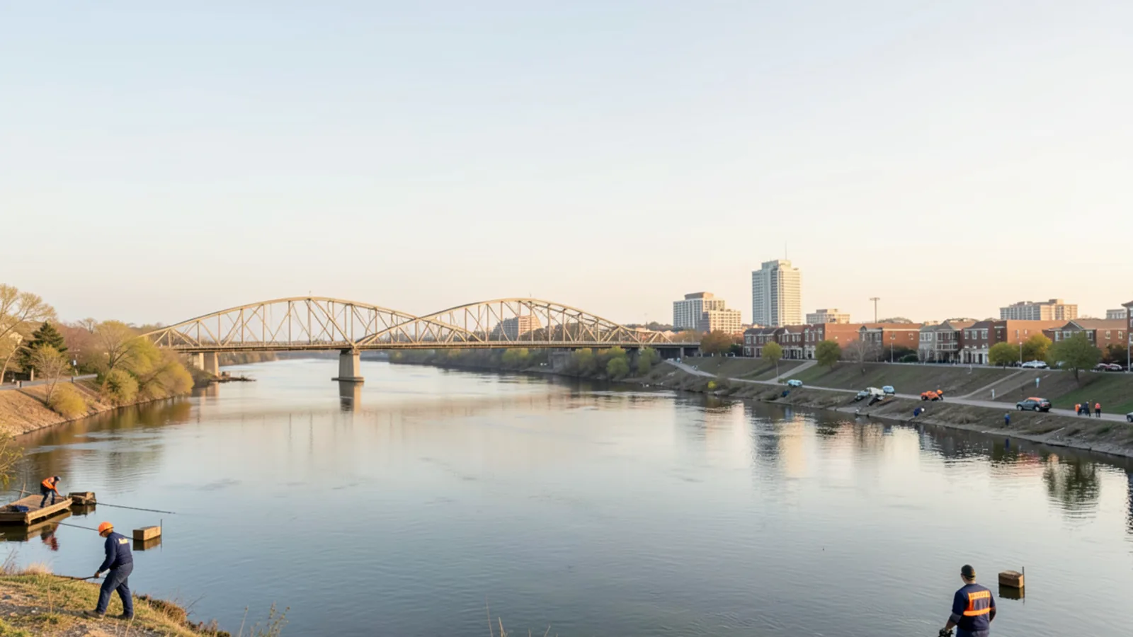
Centrally based along the Cantrell Road corridor west of the Heights in Little Rock, our dispatch desk connects homeowners and commercial property managers with restoration specialists stationed near major highway arteries. With immediate access to I-430, crews quickly navigate north across the Arkansas River to I-40 (serving North Little Rock, Maumelle, and Conway), east to US-67/167 (serving Sherwood and Jacksonville), or south to I-30 (serving Bryant and Benton).
Each community in our service ring presents unique structural and environmental vulnerabilities. Whether dealing with riverfront groundwater near North Little Rock, tornado wind damage along Kiehl Avenue in Sherwood, attic water heater failures in Maumelle, or crawlspace moisture around the Saline River in Benton, response teams are equipped with region-specific knowledge and industrial drying equipment.
35-Minute Rapid Response Network
Centered on the Cantrell Road corridor near I-430, connecting Little Rock with rapid access across I-40, I-30, and US-67/167.
Communities We Serve by County
Explore dedicated city profiles detailing local housing eras, soil hydrology, municipal utilities, and emergency restoration response times.
Pulaski County
Central metro territory including Little Rock, North Little Rock, Sherwood, Maumelle, and Jacksonville.
North Little Rock, AR
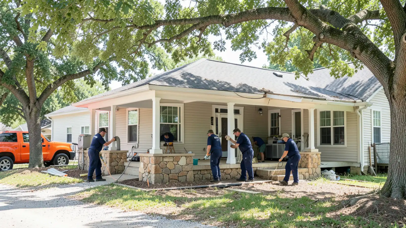
1920s–1950s Park Hill and Lakewood Craftsman bungalows and mid-century ranches on pier-and-beam crawlspaces; Argenta historic brick district; riverfront lowlands exposed to historic Arkansas River flooding; impacted by the March 2023 EF3 tornado path.
Sherwood, AR
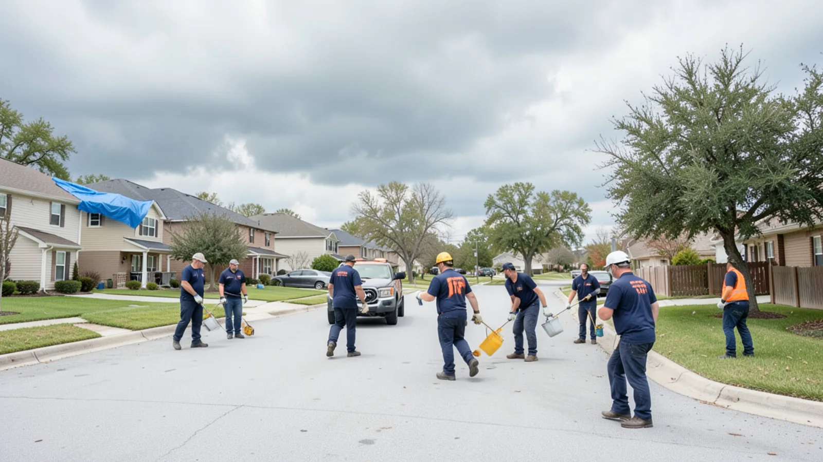
Directly in the crosshairs of the March 31, 2023 EF3 tornado, which tracked across the Kiehl Avenue corridor; 1970s–2000s subdivisions where roof breaches turn into severe interior ceiling and crawlspace water losses.
Maumelle, AR
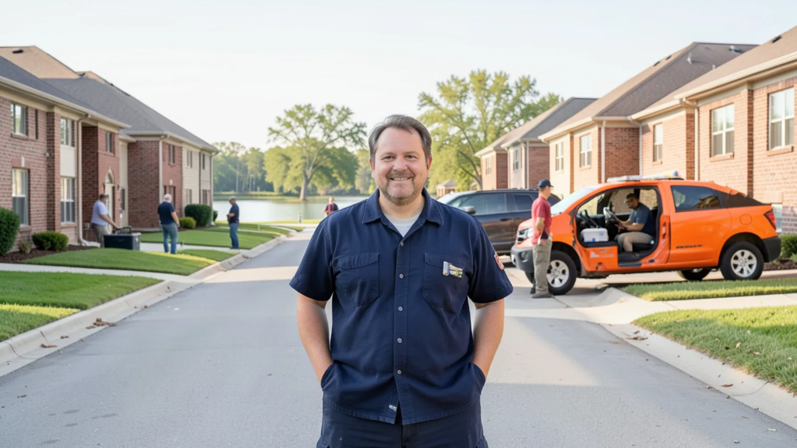
Master-planned community from the 1970s built along the Arkansas River; primarily 1980s–2010s slab-on-grade homes with elevated attic water heaters and under-slab copper supply lines; lakefront exposure near Lake Willastein and Lake Valencia.
Jacksonville, AR
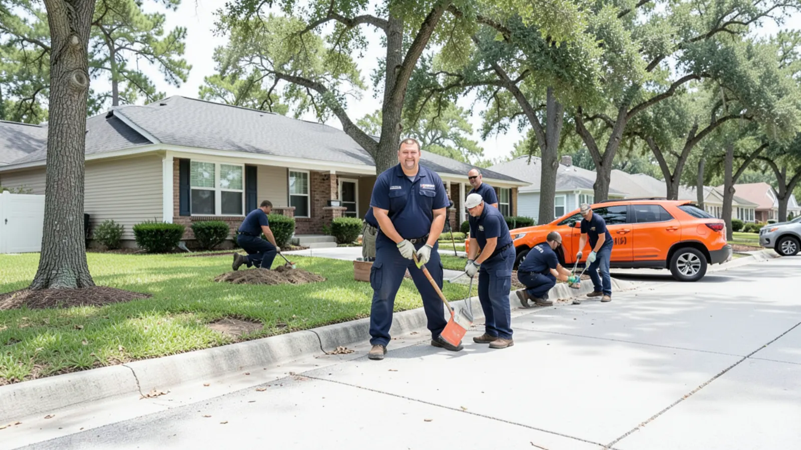
Home of Little Rock Air Force Base (LRAFB); significant military rental housing where frequent PCS relocations leave properties temporarily vacant; severe impact from the March 31, 2023 EF3 tornado track across northern residential sectors.
Saline County
Southwest growth corridor along I-30 including Bryant and Benton.
Bryant, AR
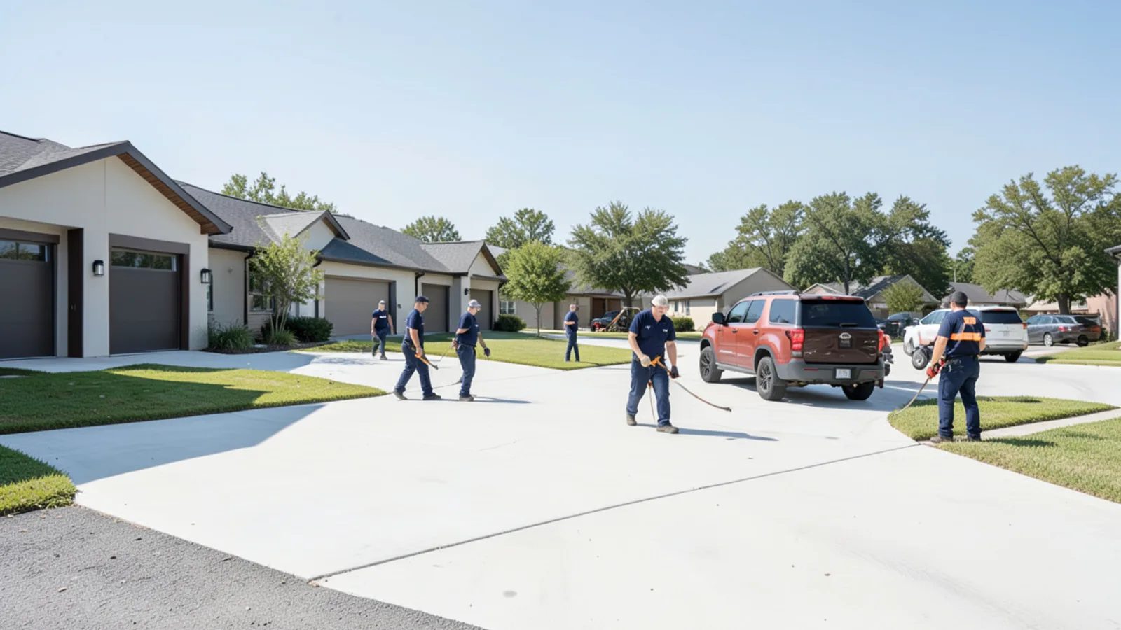
One of Central Arkansas’s fastest-growing suburban cities; 2000s–2020s slab subdivisions where plumbing supply breaks, attic HVAC condensation, and Hurricane Creek flash flooding dominate.
Benton, AR
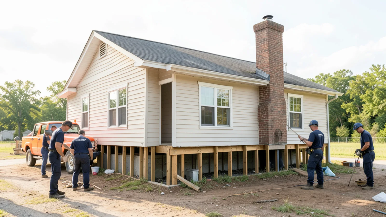
Historic county seat featuring pre-WWII Craftsman bungalows on pier-and-beam crawlspaces around the courthouse square alongside modern subdivisions; Saline River flood exposure and chronic crawlspace humidity.
Faulkner County
Northern metro sector along I-40 West centered on Conway.
Conway, AR
The "City of Colleges" (UCA, Hendrix, Central Baptist) with extensive student and multi-family rental housing where leaks go unreported during semester breaks; Lake Conway lowland drainage challenges; Faulkner County severe storm exposure.
Also Serving Neighboring Municipalities
If your property is located in Cabot, Alexander, Shannon Hills, Mayflower, or Wrightsville, independent contractors in our network can still respond. Dispatch times vary slightly depending on real-time highway conditions. Call (702) 478-1007 to confirm current estimated arrival times for your specific location.
Service Areas & Travel Time FAQs
Transparent details about our regional dispatch boundaries, average drive times, and emergency service availability.
Independent contractors operate within an approximate 35-minute highway dispatch perimeter originating near the Cantrell Road and I-430 interchange. This ensures rapid transit across I-40, I-30, and US-67/167 to North Little Rock, Sherwood, Maumelle, Bryant, Benton, Conway, and Jacksonville.
Water Damage in Central Arkansas? Call for Fast Dispatch
Connect immediately with independent local contractors serving Pulaski, Saline, and Faulkner counties 24 hours a day.